El Niño May Bring More Water to California Than Reservoirs Can Hold - Newsweek
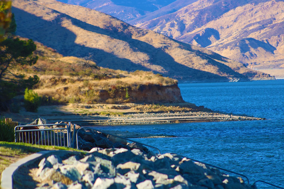
New precipitation outlooks published by the National Oceanic and Atmospheric Administration (NOAA) Climate Prediction Center (CPC) on Thursday imply that a strengthening El Niño will likely bring above-average precipitation across Southern California this winter.
Although the forecast is widely considered good news for a region that often struggles with a fluctuating water supply, some of the reservoirs in this part of the state are already close to capacity, meaning more rain might not have a place to go.
On Thursday, the CPC issued its seasonal precipitation outlooks through December 2027. The predictions come as forecasters track a strengthening El Niño in the Pacific Ocean. The developing El Niño, which is the warm phase of the El Niño-Southern Oscillation (ENSO) cycle, has already broken numerous records and is on track to become a "super" El Niño by this winter. The strength of the climate pattern could influence weather across the globe, including in the U.S., where a wet winter is expected in the Southwest.
Several meteorological agencies have been referring to the ongoing El Niño as a “super” event. Although NOAA refers to the climate pattern as “very strong,” both labels refer to an event in which waters are warmer than average, usually by around 2 degrees Celsius.
The warmer the waters, the greater the influence on weather. El Niño can influence weather around the globe. In the U.S., it causes the most widespread impacts during the fall and winter months, when cooler, wetter conditions are experienced across the South, with warmer, drier conditions in the North. It also can influence storm track, whether precipitation falls as snow or rain, and extreme cold spells.
Most of El Niño's impacts are felt in the U.S. during the colder months, especially in winter. During typical El Niño years, the U.S. Southwest is wetter and colder than average. These conditions can benefit the desert region, which often sees fluctuating water supplies.
When looking at NOAA's new forecasts, a wet winter certainly seems likely in Southern California. The seasonal precipitation outlooks show increasing chances of above-average precipitation across the region beginning in November and persisting through next June.
"El Niño does matter significantly for California winter precipitation," climate scientist Daniel Swain previously told Newsweek. "But really only matters in a reasonably consistent way if it is particularly strong."
While this seems like good news for a state that only emerged from extreme drought conditions last September, many of the major reservoirs tracked by the California Department of Water Resources (DWR) in Southern California are already close to capacity even before the water year officially begins in October.
That means that even if El Niño delivers regular rain to the region throughout the winter, certain reservoirs might not be capable of holding any more water.
For example, Castaic Lake, the largest state water project in Southern California, is at 95 percent capacity as of Friday—115 percent above its average water levels for this time of year. To make space for the incoming rain, reservoir managers draw down the lake's water. This occurs every winter, a DWR spokesperson told Newsweek.
"Each winter, the reservoir levels are lowered to create space to safely manage high inflows and allow water to be released in a controlled manner, when necessary," the spokesperson said. "Released water moves through established downstream channels, supporting environmental flows and water supply needs. Being near capacity at the start of the water year is normal as operators across agencies proactively manage storage ahead of winter storms to ensure public safety and system reliability."
The spokesperson went on to add that DWR staff is currently assessing conditions and conducting seasonal maintenance and inspections at the lake.
"This preparation allows DWR to capture, store, and move water when conditions allow, while maintaining flexibility to respond to changing weather and water supply conditions," the spokesperson said.
Other Southern California reservoirs are also near capacity as of Friday, including Lake Casitas, owned by the U.S. Bureau of Reclamation, and Diamond Valley Reservoir, owned by the Metropolitan Water District of Southern California.
However, Diamond Valley operates differently from other reservoirs, a Metropolitan Water District of Southern California spokesperson told Newsweek. Since it is an off-stream reservoir, it does not collect natural runoff. Instead, it is filled through pipelines, so El Niño precipitation will not fill the lake unless rain falls directly over the reservoir.
"Metropolitan is closely monitoring El Niño and preparing for anticipated precipitation this winter by working to ensure we can capture and store as much water as possible for use during the next dry period," the spokesperson said. "In addition to our surface water reservoirs, we are also working to ensure as much water as possible can be stored in local groundwater basins."
Newsweek reached out to the U.S. Bureau of Reclamation about Lake Casitas by email for comment on Friday.
Lake Casitas is at 95 percent capacity, according to DWR data, which is 123 percent above average. Diamond Valley is even more full, at 97 percent capacity, which is 129 percent above average for this time of year. The reservoirs' water levels have been mostly holding steady since summer began, although Lake Casitas water levels have fallen slightly.
This time last year, Castaic Lake was at 85 percent capacity, Lake Casitas at 94 percent and Diamond Valley Reservoir at 95 percent.
El Niño occurs when Pacific Ocean waters are warmer than average. This can have widespread impacts across the globe. During winter in the U.S., this can cause wetter conditions across the South, drier conditions in the Midwest and Great Lakes regions, and warmer conditions in the North.
While El Niño is the warm phase of the ENSO cycle, La Niña is the cool phase. During a La Niña winter, there are cooler conditions in the North, wetter conditions in the Midwest and Great Lakes, and warmer and drier conditions in the South.
Forecasters anticipate that El Niño will continue strengthening into winter. The El Niño climate pattern usually occurs once every three to five years, NOAA said, and it can last around a year, although unusually strong events can last even longer.
As for the increased precipitation across Southern California, chances begin to increase in November and will hit their high from December-April, according to the CPC forecast.
Contact Newsweek editors on this story: Anna Skinner and Dave Siminoff.
Related Coverage in Science