New map highlights which US rivers should be priorities for protection
Want to bookmark your favourite articles and stories to read or reference later? Start your Independent Membership today.
A new map has revealed which American rivers need the most attention and protection amid the worsening climate crisis.
Only six percent of these water bodies are currently in good condition and 14 percent need help, conservationists and scientists said in a September study.
That’s because a century of changes to the landscape and groundwater usage have forced species that live in rivers into a rapid decline.
But by identifying these areas, the researchers say there’s already been progress to protect the rivers. Dams have been identified for removal and land has been prioritized for protection around the rivers’ sources.
“We can now point at a map for the first time and say, these are the rivers most capable of sustaining diversity of aquatic life, and this is what each one needs,” Mary Khoury, a freshwater ecologist at The Nature Conservancy, which led the study, told Science News on Wednesday.
The four-year-long analysis - which included 5.2 million miles of rivers and streams in the lower 48 - showed that a third were above-average for resilience to manmade climate change. Although these rivers may still require restoration.
These rivers are found along the Pacific Coast, the Northern Rocky Mountains, the Great Lakes areas in Wisconsin and Minnesota, in Northern Maine and in coastal regions along the southeastern U.S. and the Gulf Coast.
Vulnerable or below-average resilience river networks made up 15 percent. These were located in the Southwest deserts, lower New England, the shortgrass prairie east of the Rocky Mountains and the agricultural lands of the Midwestern states.
The rivers and their surrounding areas were rated on how connected the river network is, whether animals can freely travel through them, water quality and the condition of the land near the river, how much water it is, and how much its flows have been altered.
“A resilient system is one that gives species options and environments in which to adapt,” Khoury noted.
The team acknowledged that the maps don’t take human needs into account, but said data representing human dimensions could be combined with this analysis to identify them.
Climate change has degraded water quality in U.S. rivers due to flooding, fires, sea level rise, droughts, changes to groundwater and many other impacts, according to the non-profit National Environmental Education Foundation.
Rising temperatures can create toxic algal blooms that harm river ecosystems and lead to the spread of disease.
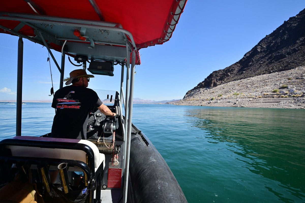
Historic heat has helped Lake Mead and Lake Powell - two of America’s largest reservoirs - reach record low levels this summer. The Southwest reservoirs are offshoots of the shrinking Colorado River.
Three-quarters of rivers could lose their biodiversity due to climate change, the Nature Conservancy said in a release accompanying the research.